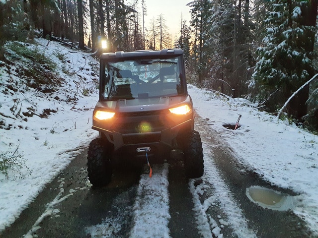
LEI Oregon completed road condition surveys and associated reporting for 192 miles of road in the Umpqua National Forest. The scope of work included surveying and recording condition data for paved roads, aggregate surfaced roads, drainage features, and damage along roads. LEI Oregon analyzed the data and produced a report summarizing the road condition data, including a list of prioritized work needed on each road. The assessment was collected using ESRI Field Maps, on GPS field data tablets, using a database scheme developed by the USDA Forest Service. Data collected during the assessment was synchronized daily with the USDA Forest Service cloud-based GIS system (ArcGIS Online) for USFS personnel to review and for ongoing quality assurance and quality control of the collected data.

Umpqua National Forest Road Condition Surveys
LEI Oregon completed road condition surveys and associated reporting for 192 miles of road in the Umpqua National Forest. The scope of work included surveying


