Land Surveying
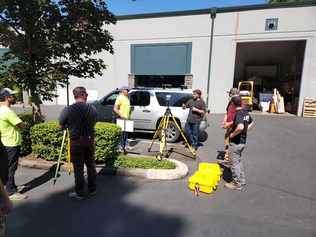
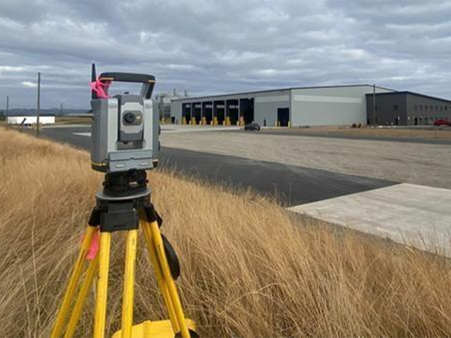
Land Surveyors are an essential part of any development project work and the basis for solid design. Accurate site layout is essential when performing any type of construction work. Our local land surveyors are prepared ensure you get the timely response you need. We utilize cutting-edge technology, including the Robotic Total Station and Survey Grade GPS, to deliver a superior service at the best price.
Our Approach
LEI Engineering & Surveying of Oregon has a full staff of engineers, land use planners, and resource specialists backing our land surveyor staff. This means that the survey project will be completed incorporating the bigger picture and not just the survey portion of the project itself. Oftentimes, the decisions at the survey stage of a project can have overarching implications for the stakeholder. LEI Oregon will work closely with clients at the onset of a project to develop a comprehensive project plan to meet client objectives and budget. Our staff comprises top-quality surveyors with a broad range of expertise and decades of experience. All land survey services are based out of our Salem, Oregon Office.
Our Land Survey Services
Boundary Surveys
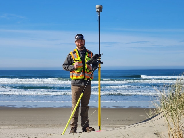
- Locate property corners
- Property line marking
- Deed and legal description research
- Easements and right-of-ways
- Expert Witness
Topographic Surveys
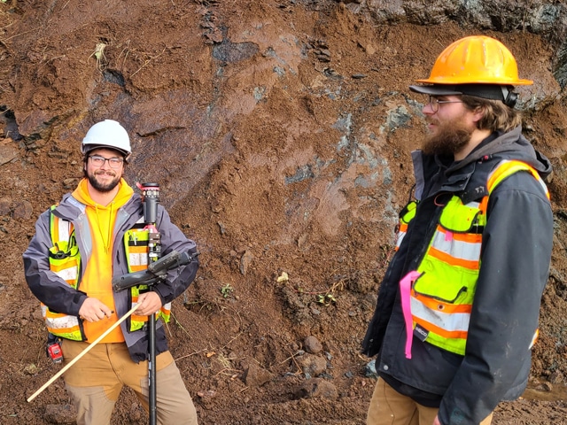
- Identify and capture topographic features
- Capture utilities, structures, and required vegetation
- Digital terrain model generation, refinement, and export to major CAD and mapping platforms
- Civil site design support
- Top quality topographic survey services

Partitions and Subdivisions
Navigating the entire process seamlessly, from the initial survey to the application and planning stages, culminating in the meticulous final documentation. Our streamlined approach ensures a comprehensive journey, marked by precision and dedication at every stage of your project.
- Collaboration with Land Use Planners to meet local regulatory requirements
- Lot configurations and layouts
- Property Line Adjustments(PLA's)
- Platting
- Legal descriptions and monumentation
Speciality Surveys
- Title Surveys (ALTA)
- Elevation certificates (FEMA)
- Hydraulic cross-sections
- Mortgage location survey
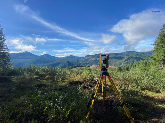
Cadastral Surveying
- Existing boundary line maintenance
- Control surveying
- Marking and posting
- Establish new lines and monumentation
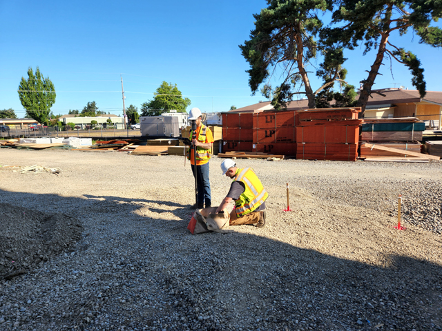
Construction Staking
- Erosion Control
- Storm/Sanitary Sewer
- Waterline
- Utility Crossings
- Curb & Gutter Rough and Final Grading
- Street Lights & Signs
- Traffic Control
- Lot Grading
- Building and Structures
