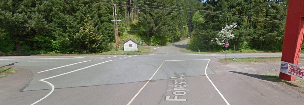
LEI Engineering & Surveying of Oregon had previously completed commercial development in the City of Detroit, and due to the positive working relationship with them, they requested a quote to complete a boundary and topographic survey. The City had planned improvements along Forest Avenue to widen the street and create a pedestrian path along 2 miles of public roadway. LEI Oregon completed property research and deed research to determine if any discrepancies were found in the boundary or deeds of the property in preparation for the fieldwork. LEI Oregon completed a property boundary survey to establish existing monument locations and performed an exterior boundary calculation using existing county records, including deeds and surveys. The exterior survey boundary was used as the base file for the proposed planning and engineering.
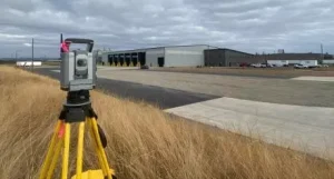
LEI Oregon also completed a topographic survey of the site for use in designing the horizontal and vertical infrastructure of the site. A frontage improvement topographic survey of the site frontage was completed for use in designing the horizontal and vertical infrastructure of required half-street improvements. A site plan delineating the project boundaries and known property corners with the associated contour map was created for use in the civil design.

