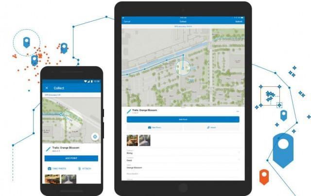
LEI Engineering & Surveying of Oregon (LEI Oregon) has successfully deployed the ESRI Collector platform on Apple iPads and smartphones for remote field data collection. This unique and new mobile data collection platform uses GPS to establish positioning on existing maps and GIS features. Data is collected into a pre-defined database with fields and attributes designated to quantify and qualify the field features being observed and surveyed. The ESRI Collector platform maintains a real-time connection to a centralized cloud data server so that all data is centrally stored and synchronized across all devices.
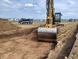
Over the last two season, LEI Oregon has inventories thousands of road stream crossings in the western Oregon cost range to assess condition, maintenance need, need for replacement, and upgrade to fish stream crossings to meet fish passage requirements. The ESRI Collector platform allows for efficient data collection by field crews with nightly synchronization of data to a centralized repository server.
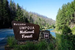
During the 2020 field season, LEI Oregon expanded its use of the Collector application to LEI Oregon’s USDA Forest Service projects related to National Forest assessment and analysis for treatment to reduce forest fire risk. The Collector application allowed for very efficient real-time data capture for data previously collected using mostly manual methods.
LEI Oregon looks forward to expanding its use of the Collector platform on mobile devices to increase field efficiency and the quality of data being collected for our clients.

