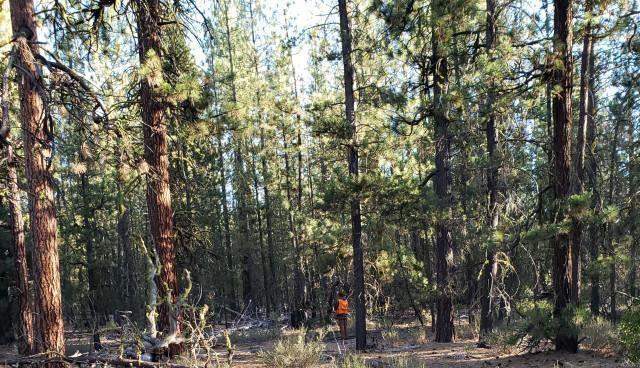
In the Summer and Fall of 2020, LEI Engineering & Surveying of Oregon (LEI Oregon) completed the engineering and forestry analysis for a environmental analysis effort to perform fuels reduction on 7,000 acres of Fremont-Winema National Forest lands to minimize forest fire risk. This included developing an integrated logging systems and transportation analysis (LSTA) for all acres within the planning area, assessment of 70 miles of existing forest roads, assessment of stand density and volume, and assessment of forest fuels loading. LEI Oregon field verified the LSTA using the ESRI ArcGIS Collector field software package to record field specific design elements.
Following field verification, LEI Oregon performed a comprehensive analysis of the LSTA, forestry and fuels data, and existing roads assessment to develop a treatment analysis report to assist the environmental team in advancing the project to final implementation. This will allow the Fremont-Winema National Forest to treat stands subjectable to forest fire and to improve forest stand health. LEI Oregon was pleased to be a part of this project to improve our national forests.


